

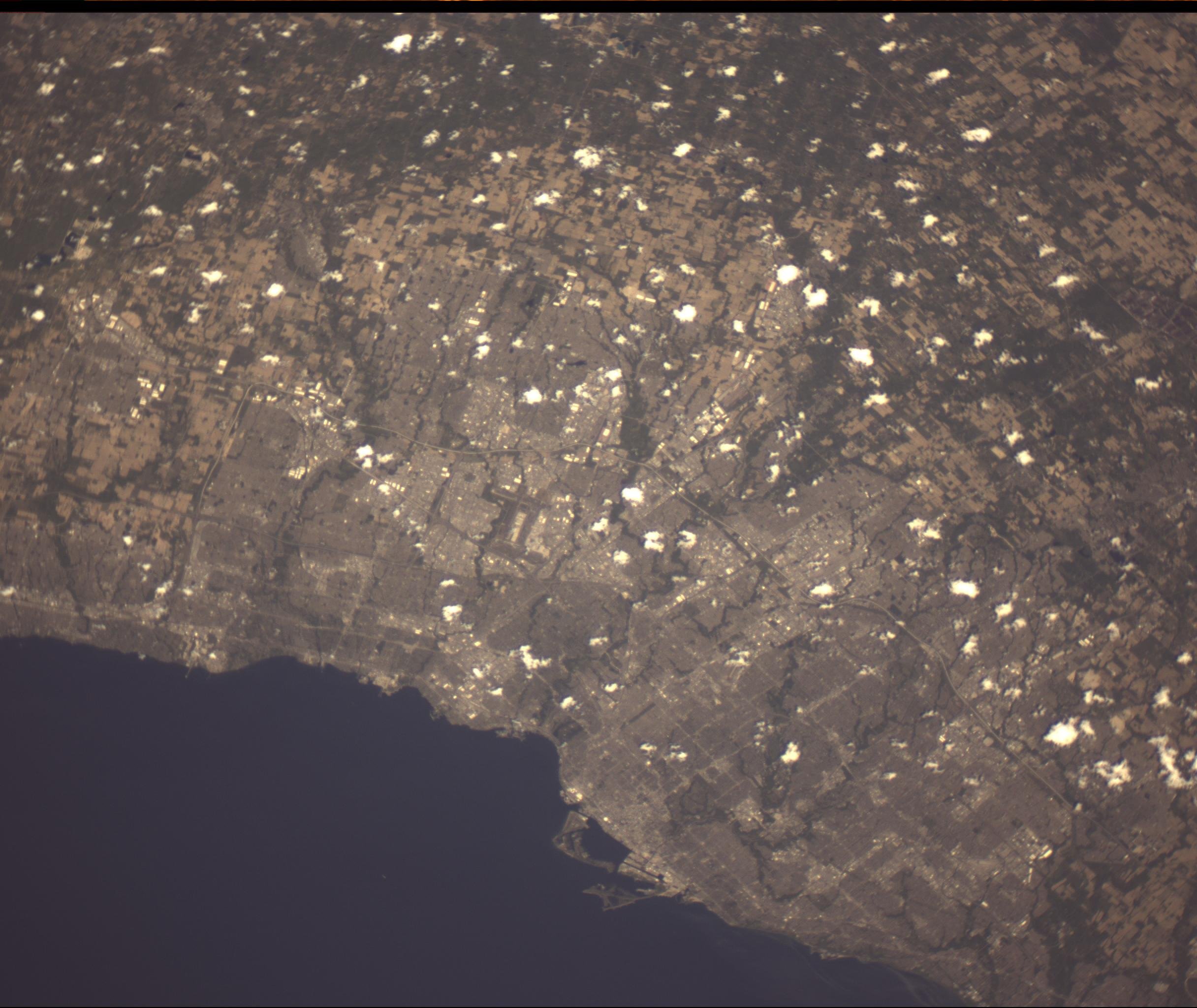
Toronto taken from Unicorn-2Q, Credit Alba Orbital © 2025

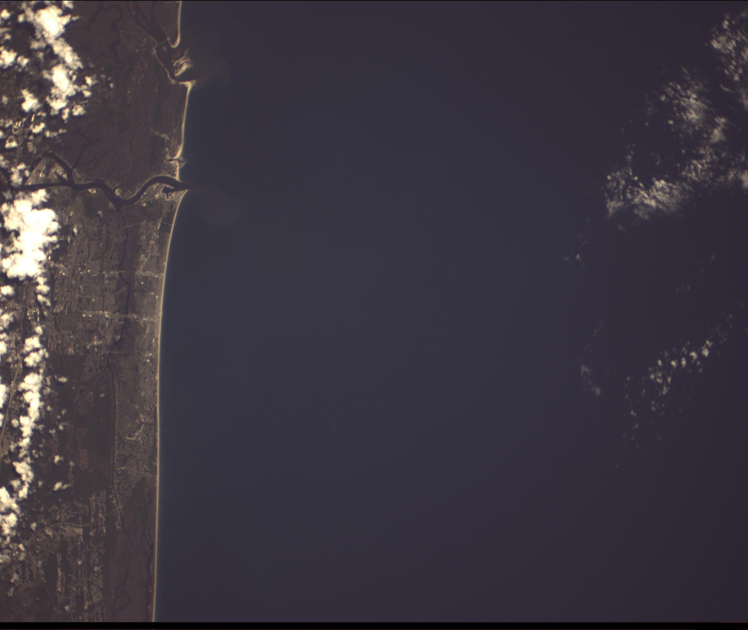
Toronto Pearson International Airport (YYZ) Credit Alba Orbital © 2025
Its been exciting few months at Alba Orbital, as we have started to share pictures from our most recent satellites Unicorn-2O, P & Q. This blog is aimed at showcasing some of the cool things we have seen from orbit via Unicorn, the worlds smallest commercial imaging satellite constellation.
This shot of Toronto is really interesting. We can see the whole city and surrounding region of southern Ontario in this shot. Unicorn has
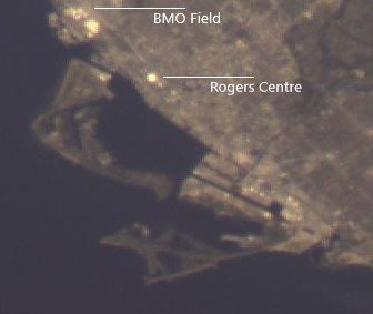
Downtown Toronto, Credit Alba Orbital © 2025
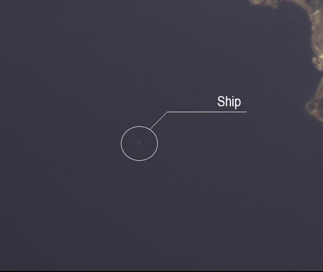
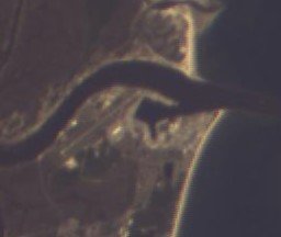
Ship off coast ofToronto, Credit Alba Orbital © 2025
Zooming in on the downtown core, we can see a number of sports stadiums. Top left is BMO field, home of Toronto FC MLS team and further down we can see the Rogers Centre (Skydome) which is a stadium used for baseball by MLB team Toronto Bluejays.
We can also see the Toronto Islands which includes another airport, the Billy Bishop Toronto City Airport. Separately (above) you can see the multiple runways of Toronto Pearson International airport (YYZ).
We also have our first confirmed ship of the coast, likely a large cargo ship visiting Toronto. Ocean traffic is a key use case of the Unicorn constellation, with further refinement we should be able to pickup smaller and smaller ships and start to track dark vessels.
Want imagery of Earth for your project? Get in touch!
Jacksonville, Florida, taken from Unicorn-2Q, Credit Alba Orbital © 2025
Mayport Naval Station, taken from Unicorn-2Q, Credit Alba Orbital © 2025
Next up is Jacksonville, Florida. We can see a port, which is the Mayport Naval Station alongside the NAS Mayport Air Operations airstrip. It looks like there were no large ships in port when we flew over. It’ll be interesting to see how busy the river/port gets during the year.
The other striking thing about this image is the beach. It really pops out and is super clear. We can see the towns of Atlantic Beach and Neptune beach in the center of the image.
Big talbot state park, taken from Unicorn-2Q, Credit Alba Orbital © 2025
Further up the coast we have the Big Talbot State park. Located on one of Northeast Florida's unique sea islands, Big Talbot Island State Park is primarily a natural preserve, providing a premier location for nature study, bird-watching and photography.
In the bottom of the picture we can start to the suburbs of Nocatee. Nocatee is an unincorporated planned community and census-designated place located primarily in northern St. Johns County, Florida. We can see the usual street pattern in residential development.

Nocatee, taken from Unicorn-2Q, Credit Alba Orbital © 2025
Want imagery of Earth for your project? Get in touch!

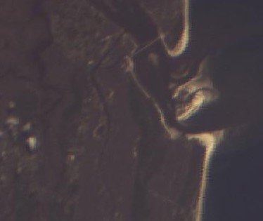
Austrian Alps, taken from Unicorn-2O, Credit Alba Orbital © 2025
The photograph offers a clear view of the jagged, rugged terrain, with peaks, ridges, and valleys that are characteristic of the Alps. The Alps, being one of the most iconic and beautiful mountain ranges in the world, are often a focus for Earth observation satellites. The ability to capture detailed images like this one can provide valuable data for various purposes, including climate studies, topographic mapping, and environmental monitoring.
With Großvenediger in the centre of the image, this allows us to pinpoint the location more accurately.
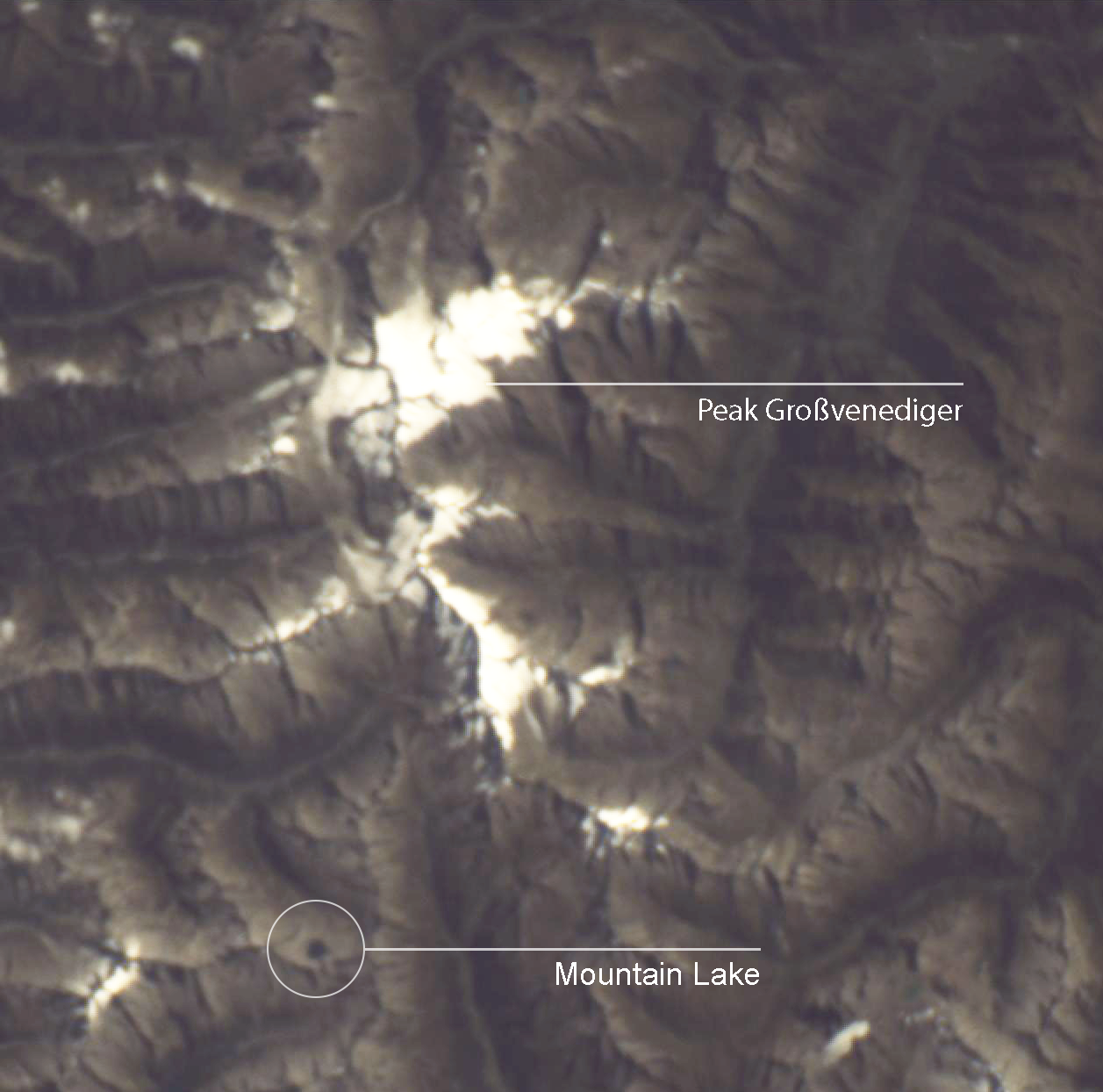
Grossvenediger, taken from Unicorn-2O, Credit Alba Orbital © 2025
Großvenediger is the second-highest mountain in Austria, part of the Hohe Tauern range in the eastern Alps. Standing at 3,662 meters (12,014 feet), it is a prominent peak known for its glaciers and dramatic, rugged terrain. In the image, the peak and its surrounding glaciers are likely the bright, snow-covered areas that stand out amidst the darker, rocky regions of the Alps.
The central positioning of Großvenediger in the image suggests that the satellite captured a wide-angle view, showcasing the dramatic contrast between the snow-capped peak and the surrounding valleys and ridges. The bright highlights you can see around the peak may be snow or ice reflecting the sunlight, while the darker sections represent the rugged slopes and deep valleys that characterize the area.
Want imagery of Earth for your project? Get in touch!